


Underground Utility Locating and Research
Ground Penetrating Radar (GPR)
Right-of-Way & Private Property Utility
LocatingUtility Map Acquire and Verification
Utility Research and Mapping
APN/Easement Research
UAV (drone) Services
LiDAR Survey
Topographic Mapping and Photogrammetry
Aerial Inspections/Hazard Inspections
Conductor Clearance Inspection
Transmission/Distribution
Tower & Pole InspectionsProject Development Feasibility Imagery
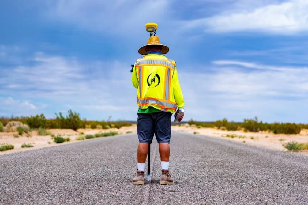
Survey:
Topographic Survey
Boundary Survey
Property Survey & Staking
ALTA
Legal Descriptions
Easement
UAV Aerial Survey
Design and Feasibility Survey
Drafting:
Utility Base Mapping
Overhead Mapping
Underground Mapping
Plan and Profile Drawings
Caltrans Drawings
GIS Mapping
UAV Aerial Utility Overlay Mapping
As-Built Mapping
Telecommunication Mapping
Construction Drawings
Fiber Design Drawings